Odometer: 26,740
The hotel in Amarillo was ok for the night but not much more. Also, internally we are still on California time and got to bed late last night, so we get up at almost 8am local time. Shortly before 11am local time we pack the car just while a thunderstorm breaks loose over us.
Sitting in the car we decide not to go further east for now but rather south west towards Roswell. The town is famous for UFO sightings. We don’t see any UFOs but are surprised to find a nice town, with beautiful old buildings and nice green parks. Since it’s only early afternoon we drive on towards Alamogordo. We are slowly gaining on elevation again, which means that there are more greens here again – and we are passing through a massive thunderstorm. For about 5 minutes it is purring cats and dogs and we can hardly see anything and then the sky lightens up and we can continue our journey on nearly dry roads again.
Arriving in Alamogordo the sky is very dark in places and we can see that it’s raining in some areas, but we believe that this constellation of clouds and rain mixed in with some (still) blue sky could be very special to take pictures at the White Sands National Monument. Therefore we drive another 13 miles to the park. When we get there we just pass through another thunderstorm (not as bad as the first one though), but it soon stops raining and we can go for a walk through the white sand dunes. It is indeed a very fascinating spectacle with light, shade, and rainbows.
Rising from the heart of the Tularosa Basin is one of the world’s great natural wonders – the glistening white sands of New Mexico. Here, dunes have engulfed 275 square miles of desert creating the world’s largest gypsum dunefield.
White Sands National Monument preserves this dunefield, along with the plants and animals that have adapted to this constantly changing environment.
Gypsum is rarely found in the form of sand because it is water-soluble. Normally, rain would dissolve the gypsum and carry it to the sea. The Tularosa Basin is enclosed, meaning that it has no outlet to the sea and that rain that dissolves gypsum from the surrounding San Andres and Sacramento Mountains is trapped within the basin. Thus water either sinks into the ground or forms shallow pools which subsequently dry out and leave gypsum in a crystalline form, called selenite, on the surface. Groundwater that does flow out of the Tularosa Basin flows south into the Hueco Basin.
During the last ice age, a lake known as Lake Otero covered much of the basin. When it dried out, it left a large flat area of selenite crystals which is now the Alkali Flat. Another lake, Lake Lucero, at the southwest corner of the park, is a dry lake bed, at one of the lowest points of the basin, which occasionally fills with water.
The ground in the Alkali Flat and along Lake Lucero’s shore is covered with selenite crystals which reach lengths of up to three feet (1 m). Weathering and erosion eventually breaks the crystals into sand-size grains that are carried away by the prevailing winds from the southwest, forming white dunes. The dunes constantly change shape and slowly move downwind. Since gypsum is water-soluble, the sand that composes the dunes may dissolve cement together after rain, creating a layer of sand that is more solid and could affect wind resistance of dunes. This resistance does not prevent dunes from quickly covering the plants in their path. Some species of plants, however, can grow rapidly enough to avoid being buried by the dunes.Various forms of dunes are found within the limits of White Sands. Dome dunes are found along the southwest margins of the field, transverse and barchan in the core of the field, and parabolic dunes occur in high numbers along the northern, southern, and northeastern margins.
From the visitor center at the entrance of the park, the Dunes Drive leads 8 miles (12 km) into the dunes. Four marked trails allow one to explore the dunes by foot.
Unlike dunes made of quartz-based sand crystals, the gypsum does not readily convert the sun’s energy into heat and thus can be walked upon safely with bare feet, even in the hottest summer months.
Because the park lies completely within the White Sands Missile Range, both the park and U.S. Route 70 between Las Cruces, New Mexico and Alamogordo are subject to closure for safety reasons when tests are conducted on the missile range. On average, tests occur about twice a week, for a duration of one to two hours. Located on the northernmost boundaries of White Sands Missile Range, the Trinity Site can be found, where the first atom bomb was detonated.
Wikipedia, nps.gov/whsa
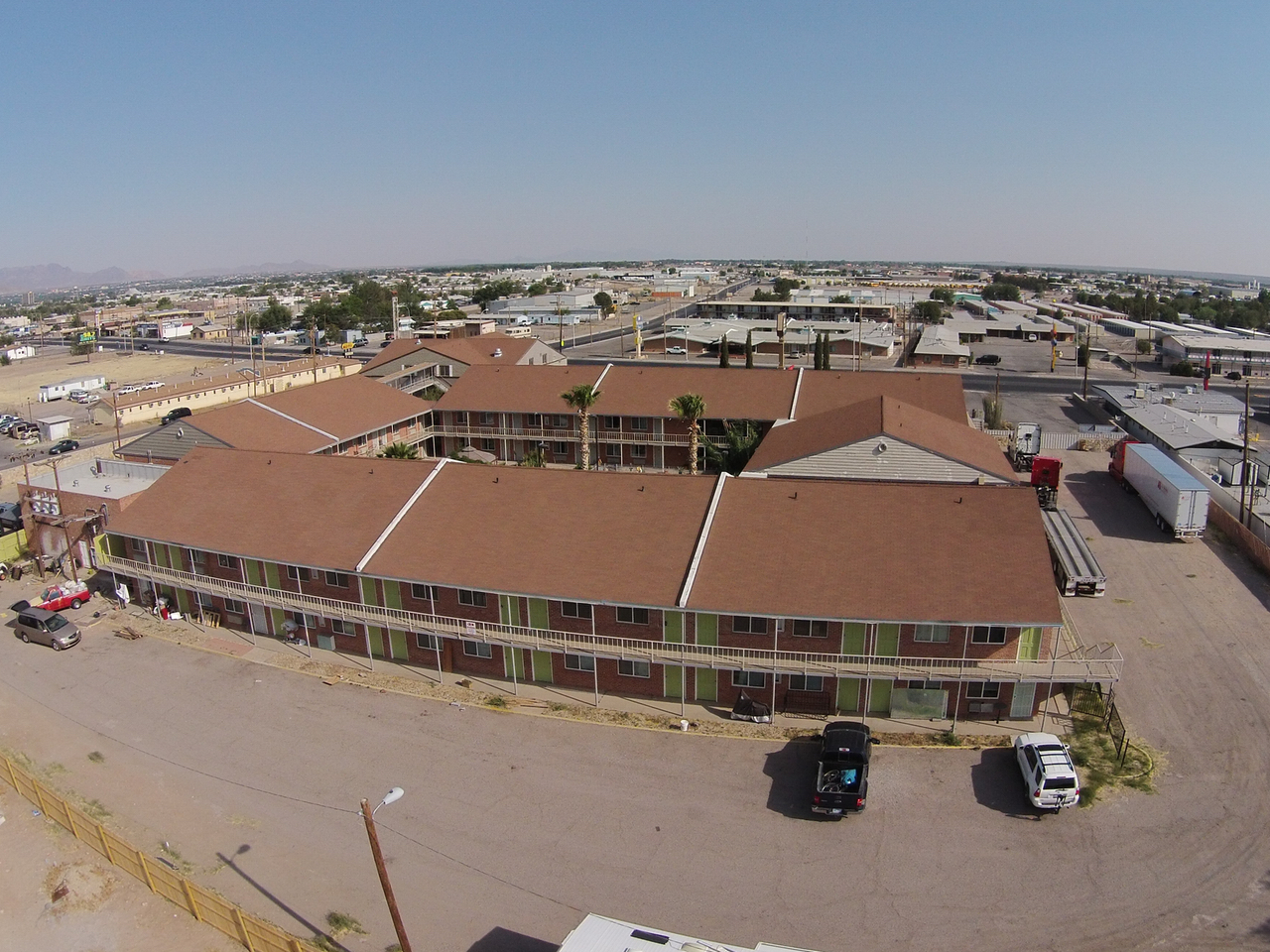
It’s already almost 8pm by the time we are back in Alamogordo. We find a room at the America’s Best Value Inn and have dinner at the Golden Corral just next door.


